コースタイム
Warning: file_get_contents(https://clim.ganbagroup.com/wp-content/uploads/data/mountaintime.csv): failed to open stream: HTTP request failed! HTTP/1.1 429 Too Many Requests in /home/ganbagroup/ganbagroup.com/public_html/clim/wp-content/themes/cocoon-child-master/functions.php on line 45
Warning: file_get_contents(https://clim.ganbagroup.com/wp-content/uploads/data/mountain.csv): failed to open stream: HTTP request failed! HTTP/1.1 429 Too Many Requests in /home/ganbagroup/ganbagroup.com/public_html/clim/wp-content/themes/cocoon-child-master/functions.php on line 69
Warning: file_get_contents(https://clim.ganbagroup.com/wp-content/uploads/data/parking3.csv): failed to open stream: HTTP request failed! HTTP/1.1 429 Too Many Requests in /home/ganbagroup/ganbagroup.com/public_html/clim/wp-content/themes/cocoon-child-master/functions.php on line 126

温泉
入浴無し
登山記録
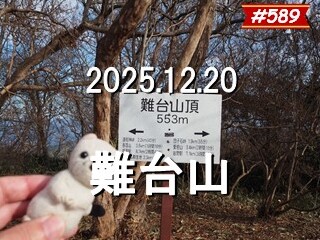
今日は茨城100名山巡りをします
まずは難台山
林道の分岐点に車を停めました
この先は両方とも未舗装になりますので普通車で入れるのはこの辺までです
準備を整えて
8:25 出発
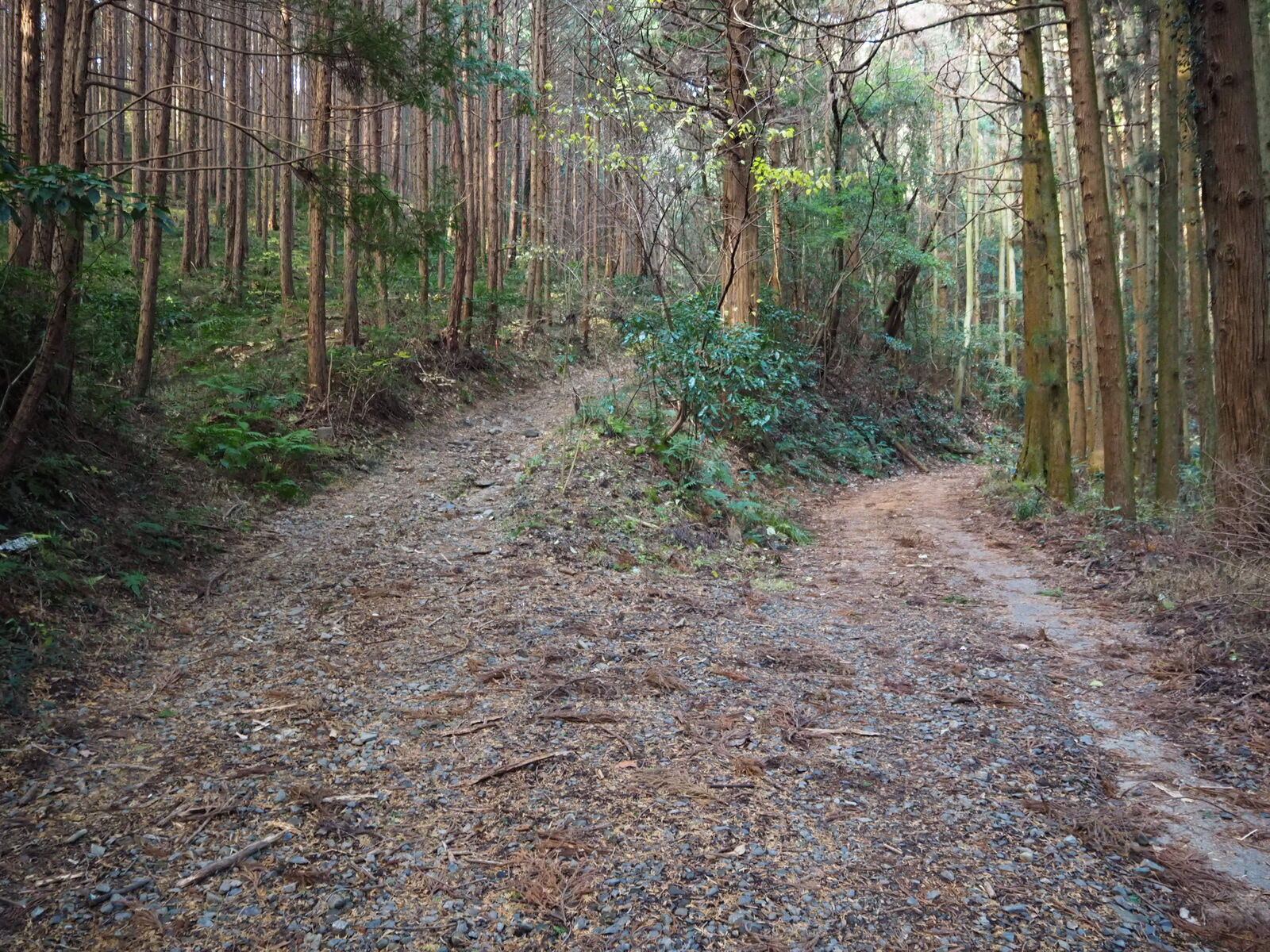
左上の道を進みます
こんなのもあるようです
8:50 林道を渡ります
結構な斜度です
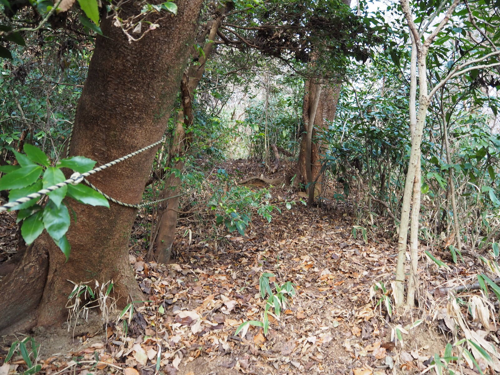
汗がボタボタ流れますので半袖で登ります
9:05 頂上稜線

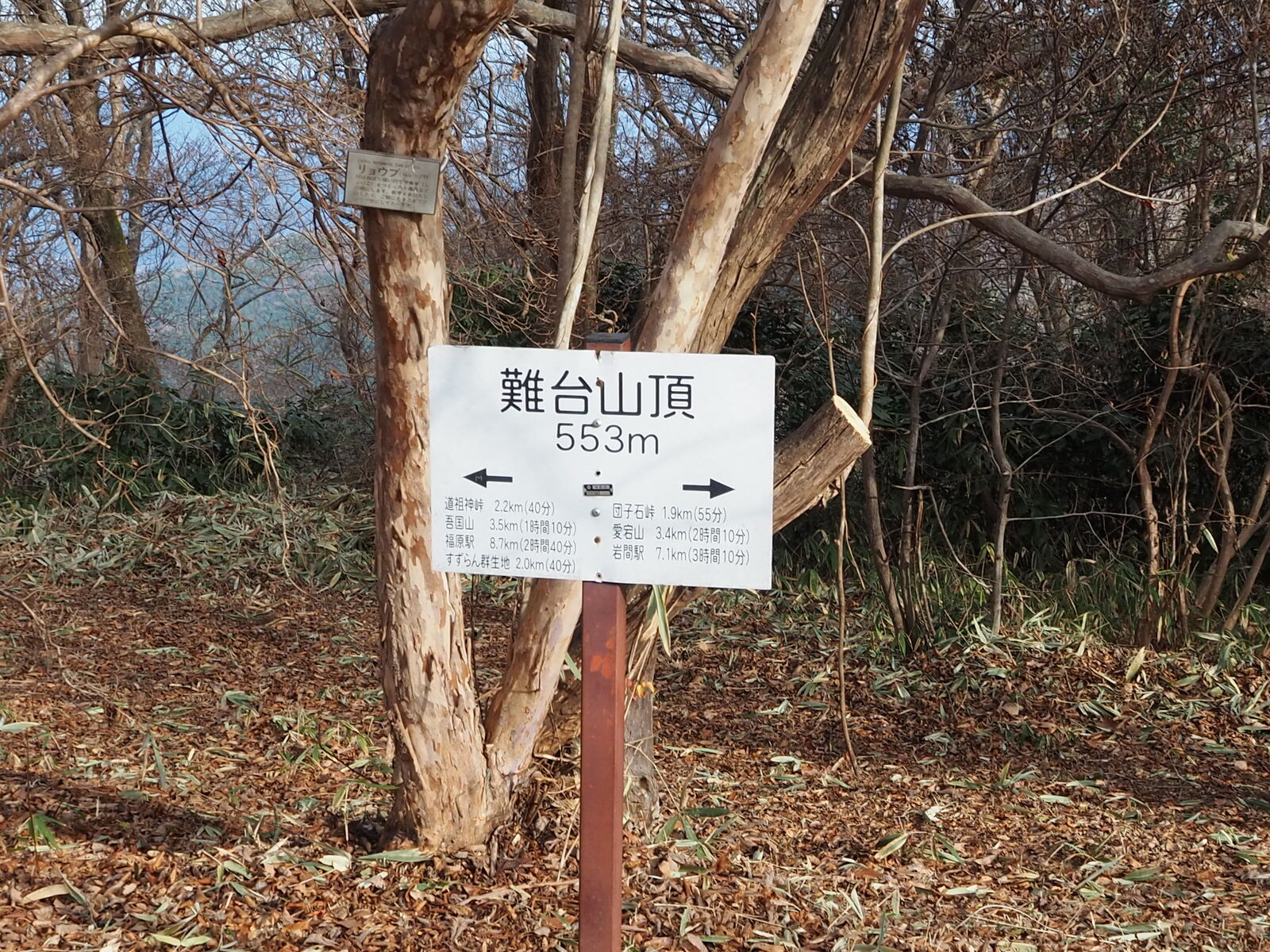
9:10 山頂
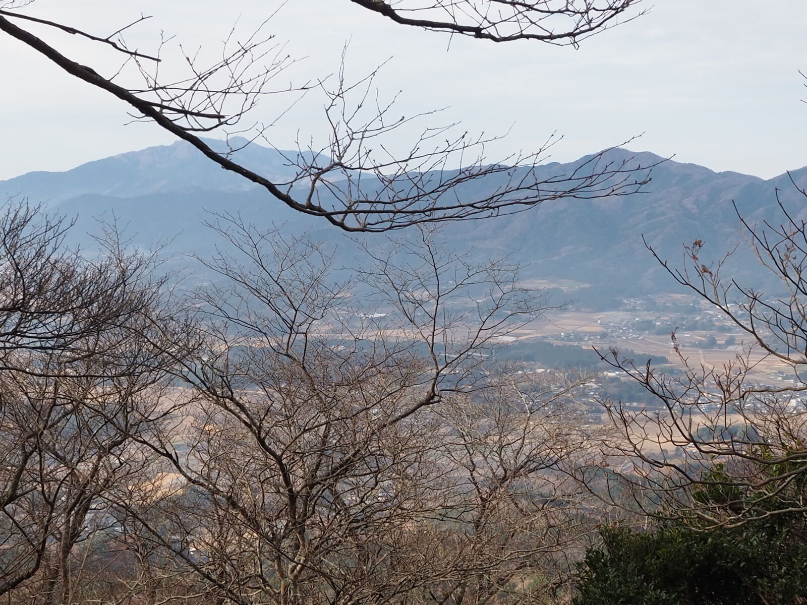
写真を撮って下山します
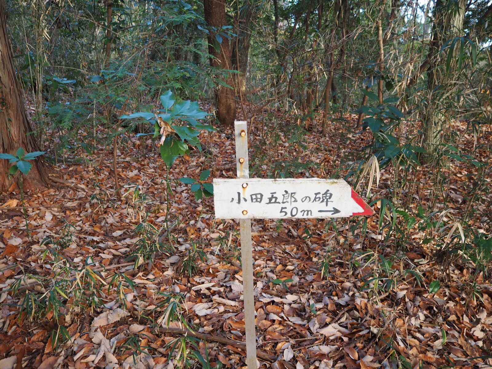
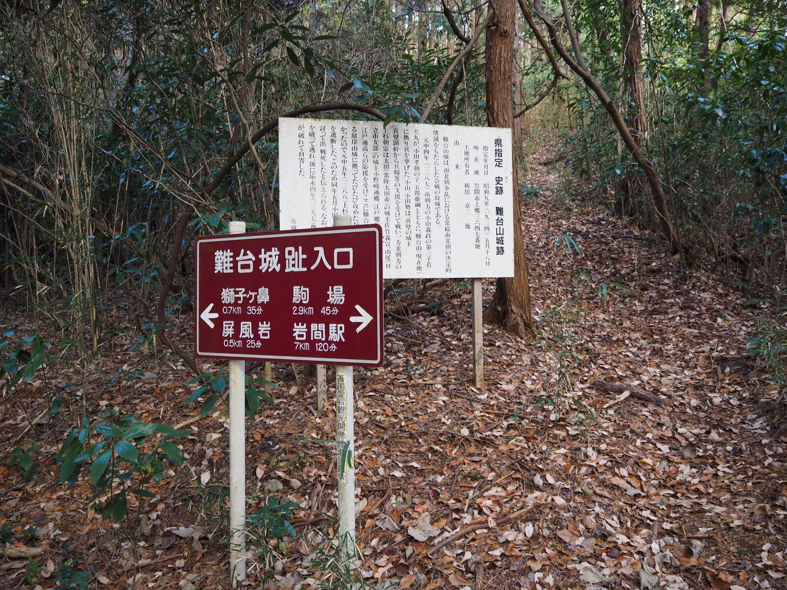
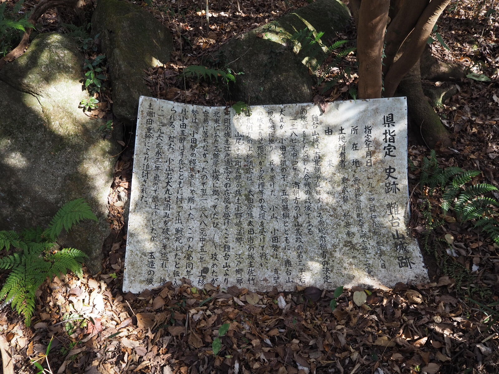
途中に城跡があります
ちょっと遠回りして帰ります
9:45 下山
次の山に向かいます
この山は山と高原地図に収録されていません
スマホのGPSや地図アプリを使用し、安全登山に心掛けましょう
スマホのGPSや地図アプリを使用し、安全登山に心掛けましょう
コメント